Karte: Unterschied zwischen den Versionen
Zur Navigation springen
Zur Suche springen
Psuchy (Diskussion | Beiträge) |
Psuchy (Diskussion | Beiträge) K |
||
| Zeile 1: | Zeile 1: | ||
| − | <display map service="openlayers" layers="ryomap_temp" height=" | + | <display map service="openlayers" layers="ryomap_temp" height="376" width="276" zoom="0"> |
0,0 | 0,0 | ||
</display map> | </display map> | ||
Version vom 18. Februar 2011, 22:12 Uhr
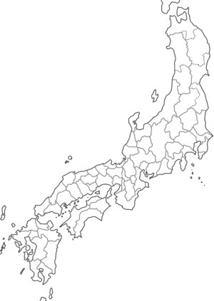
<display map service="openlayers" layers="ryomap_temp" height="376" width="276" zoom="0"> 0,0 </display map>
<display map service="openlayers" layers="ryomap" height="376" width="276">0,0</display map>
<display map service="openlayers" layers="ryomap" height="376" width="276">0,0</display map>
<display points service="openlayers" layers="ryomap" centre="-17,16" zoom="2"> -17,16|Yamashiro no kuni 山背國|I-19, II-18, II-24 -1,20|Koshinomichi no kuchi no kuni 越前國 (auch: Echizen)|II-24, III-14, III-16 </display points>
<display points service="openlayers" layers="ryomap" centre="-17,16" zoom="2">
-17,16|Yamashiro no kuni 山背國|[[I-19]], [[II-18]], [[II-24]]
-1,20|Koshinomichi no kuchi no kuni 越前國 (auch: Echizen)|[[II-24]], [[III-14]], [[III-16]]
</display points>
$egMapsOLAvailableLayers['ryomap'] = array('OpenLayers.Layer.OSM("ryomap (label)", "http://www.univie.ac.at/rel_jap/ryoiki/images/a/a4/Ryomap.png", {numZoomLevels: 5,buffer:0})');
